Stuarts Point groundwater update #12
Published on 10 June 2022
Groundwater levels are falling and pumping is still taking place in low-lying residential areas.
If current weather conditions continue, Council expects pumping to stop towards later in June.
Pumping to provide capacity in onsite septic systems finished up on Wednesday 8 June 2022.
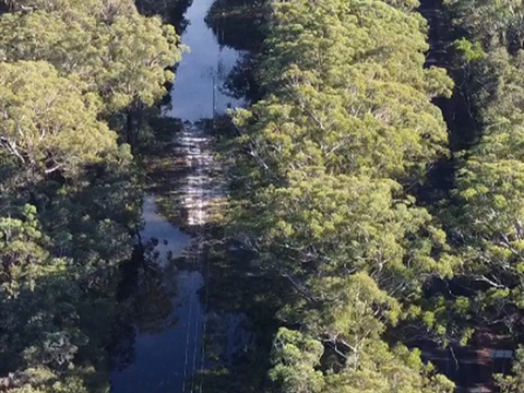
Please do not drive, ride, walk or play surface water as it may pose a health risk.
If you need emergency help with flooding in your property call the NSW State Emergency Service on 13 25 00.
In life-threatening situations call triple zero (000) immediately.
Groundwater levels
Council staff are monitoring the situation on the ground and through groundwater level monitors in the area.
Residents should monitor conditions at their own properties and act accordingly.
Readings taken on Thursday 9 June 2022.

How to read this diagram
The diagram shows the groundwater level for the past 30 days. The three graphs essentially present the same data but each with relation to a different reference point (or datum).
- The blue graph shows the depth of water below the Mount Point, which is where the laser that takes the reading is mounted.
- The red graph shows the height of the water above the Australian Height Datum (AHD) which is the official height metric based on the average of sea levels from 1966-68.
- The green graph shows the depth of the water below ground level at the location of the meter.