Council confirms flood gauges are ready for a wet Summer
Published on 17 December 2021

Macleay Valley residents can now easily and instantly confirm the Macleay River level at any time thanks to repairs and upgrades carried out by Kempsey Shire Council.
The network of Upper Macleay river level gauges has been running at a reduced capacity for some time, a situation that has caused community concern and required manual river level checks by Council staff in times of heavy rainfall.
Comprehensive upgrades have been carried out on the gauges at Bellbrook, Collombatti Creek, Moparrabah (Majors Creek) and Sherwood. Major repairs were completed earlier in the year at Toorooka where the gauge was severely damaged by bushfire in 2019.
Further repair work remains to be carried out at the Collombatti site, and repairs are also planned for the Dungay Creek site at Wittitrin which sustained damage from flooding soon after it was repaired following bushfire damage.
Council’s Director Operations and Planning, Robert Fish, said he understood the community frustration with the time taken to carry out these complex gauge repairs and it is rewarding to have the network restored along the Macleay River in particular.
"We are pleased to deliver on a commitment that we made to the community, who have been very patient in the wait for these big improvements, but they can now check the level of the Macleay with a click,” said Mr Fish.
"This sort of equipment is of course immensely complex and technical, and these repairs require specialist contractors who are in high demand. On top of that, by their very nature these devices are installed in areas that are difficult to access and prone to impacts of disaster events.”
"The reintroduction of these gauges will deliver a big improvement in the upriver network of gauges, an increase in vital reporting to our community and will mean we don’t rely on staff to make manual reads of the river in times of heavy rainfall."
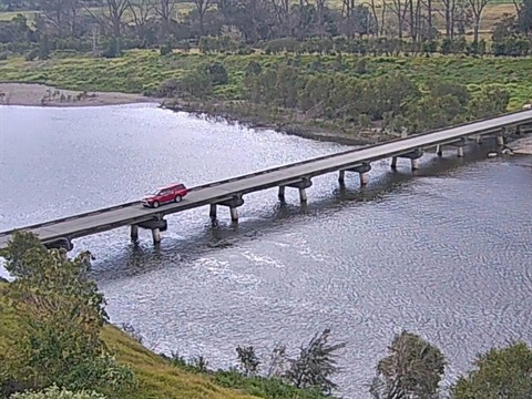
Functional gauges are just one part of Council's flood management plan, which also includes live camera feeds of two river locations, and a rigorous communications plan in flood events.
More information on Council’s flood program can be found at Flood information and Council’s online disaster dashboard can be found at kempsey.disasterdashboards.com/